Outdated documentation
The latest documentation was moved to docs.qfield.org
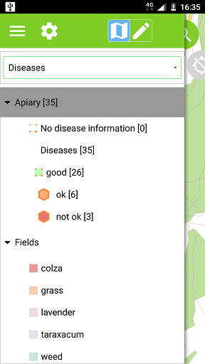
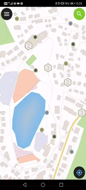
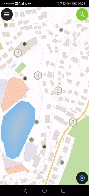
Tap on a feature on the map to identify it. If several features are located where you tapped (either because there are multiple features really close one to another, or because several layers are overlapping), they will all be listed in the menu that opens on the right of the screen.
Tap on one of the listed feature to access its attributes.
Spesso non è necessario essere in grado di interrogare ogni layer. Alcuni layer sono presenti unicamente come mappa di base e i loro attributi non sono interessanti.
Puoi gestire questa lista di layer in QGIS desktop in :menuselection:`Progetto –> Progetto Proprietà –> Identifica Layer e deseleziona il layer di base.