Outdated documentation
The latest documentation was moved to docs.qfield.org
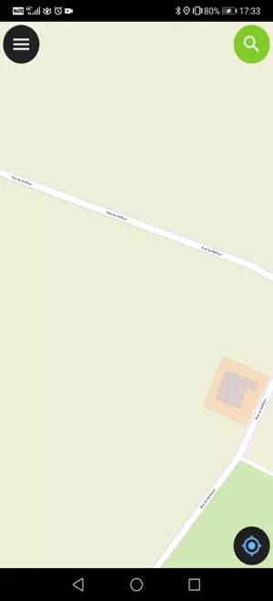
A short press on the GNSS button will turn on the GNSS and center to the current location once positioning information is available.
Activate edit mode and press on the target button, the cross in the center means it is using GNSS positioning.
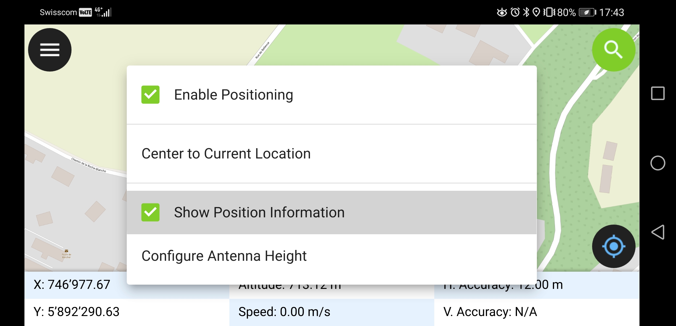
A long press on the GNSS button will show the positioning menu.
У меню позиціонування ви можете активувати відображення положення, тобто відображення поточних координат, перепроектованих у систему координат проекта, та інформації про їх точність.
Note
Якщо замість інформації у системі координат проекта ви бачите інформацію у WGS 84 (широта/довгота) , можливо ви ще впіймали сигнал.
QField supports connecting external GNSS antennas via bluetooth.
In settings -> positioning, paired bluetooth devices can be scanned and chosen as position source.
Make sure no other app like mock location providers are using the bluetooth antenna.
It is possible to provide a mock location via a separate android app to QField. There are several options for this, one of them is Android NTRIP Client.
Для цього Вам потрібно увімкнути отримання інформації про місцезнаходження на Вашому пристрої Android.
For more information how to setup high precision measurement and add quality indication metadata to collected features, see the corresponding GNSS documentation.