Outdated documentation

The latest documentation was moved to docs.qfield.org

Interact with the map

Map legend

Open the Main menu and expend the layers list to display the legend of the map.

user-guide_legend

Turning on and off layers

Main menu ‣ long press on the layer ‣ check or uncheck show on map canvas

turning_on_off

Ідентифікація об’єктів

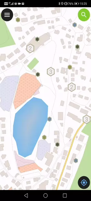
Tap on a feature on the map to identify it. If several features are located where you tapped (either because there are multiple features really close one to another, or because several layers are overlapping), they will all be listed in the menu that opens on the right of the screen.

identify_features

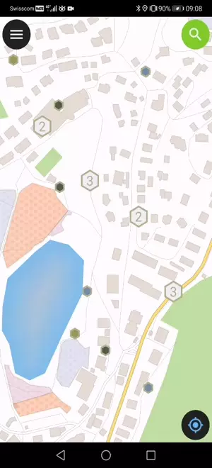
Tap on one of the listed feature to access its attributes.

  1. Tap the arrows to scroll through all the identified features.
  2. Tap the centre button to center the map on the selected feature.
  3. Tap the edit button to edit the attributes of the selected feature.
  4. Scroll through the sub-menus to access all the attributes.

Виключення під час ідентифікації шарів

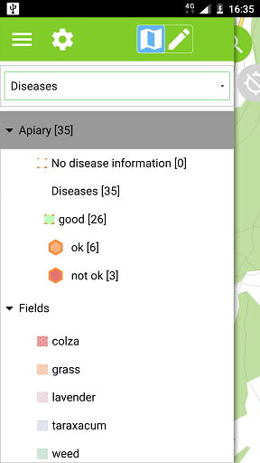
Часто ідентифікація всіх шарів небажана. Деякі шари виконують роль базових та їх атрибути нас не цікавлять.

Ви можете налаштувати цей список шарів у QGIS в Project ‣ Project Properties ‣ Identify Layers та відключити ідентифікацію для базових шарів.

Measure tool

Open the Main menu –> tap the settings button –> Measure Tool