Outdated documentation

The latest documentation was moved to docs.qfield.org

Interagiere mit der Karte

Karten Legende

Open the Main menu and expend the layers list to display the legend of the map.

user-guide_legend

Objekte identifizieren

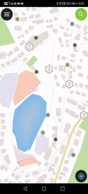
Tippe auf ein Objekt in der Karte um es zu identifizieren. Falls sich an diesem Ort mehrere Objekte befinden (entweder weil mehrere Features sehr nah liegen oder weil sich mehrere Layer überlappen), werden sie alle im erscheinenden Fenster aufgelistet.

identify_features

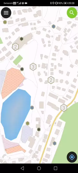
Tap on one of the listed feature to access its attributes.

  1. Tap the arrows to scroll through all the identified features.
  2. Tap the centre button to center the map on the selected feature.
  3. Tap the edit button to edit the attributes of the selected feature.
  4. Scroll through the sub-menus to access all the attributes.

Nichtidentifizierbare Ebenen

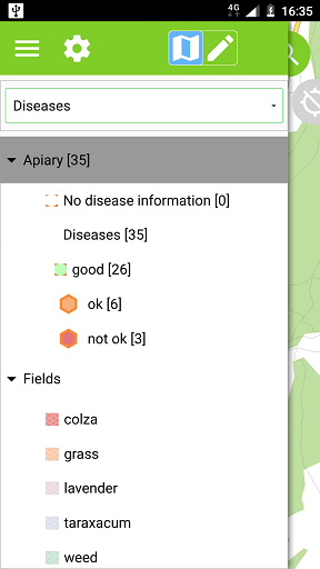
Oft ist es nicht nötig, alle Layer abfragen zu können. Manche Ebenen sind lediglich als Basiskarte da und ihre Attribute nicht von Interesse.

Dies kann in QGIS konfiguriert werden im Menü Projekt ‣ Projekteigenschaften ‣ Identifizierbare Layer.

Measure tool

Open the Main menu –> tap the settings button –> Measure Tool