Outdated documentation
The latest documentation was moved to docs.qfield.org
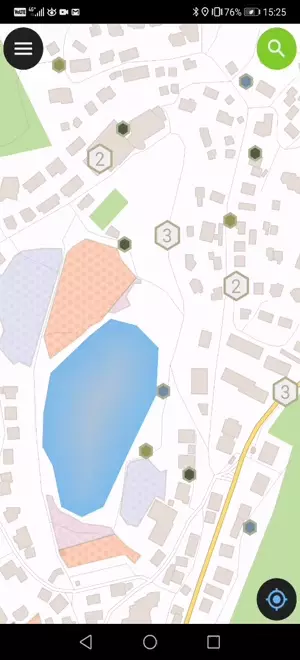
Tap on a feature on the map to identify it. If several features are located where you tapped (either because there are multiple features really close one to another, or because several layers are overlapping), they will all be listed in the menu that opens on the right of the screen.
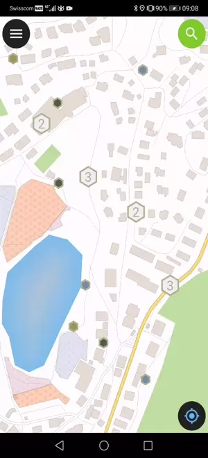
点击列表中的某个要素以访问其属性。
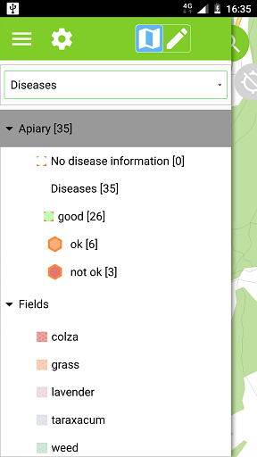
通常情况下,不需要对所有的图层都进行查询。有些图层仅仅作为底图显示,这些图层的属性也不是关注的重点。
可以在QGIS桌面中管理图层列表,通过`项目 ‣ 项目属性 ‣ 识别图层`找到图层,取消其底图图层选项即可。