Context & Challenge
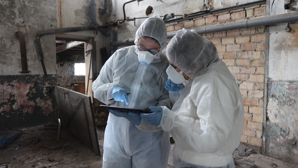
Disaster response teams tasked with saving cultural heritage face the enormous challenge of documenting damage, tracking rescue actions, and ensuring efficient data handling—often under harsh conditions. The KulturGutRetter project, led by DAI in partnership with THW and LEIZA, set out to build an open-source workflow for real-time data acquisition and management during emergency missions
QField in Action
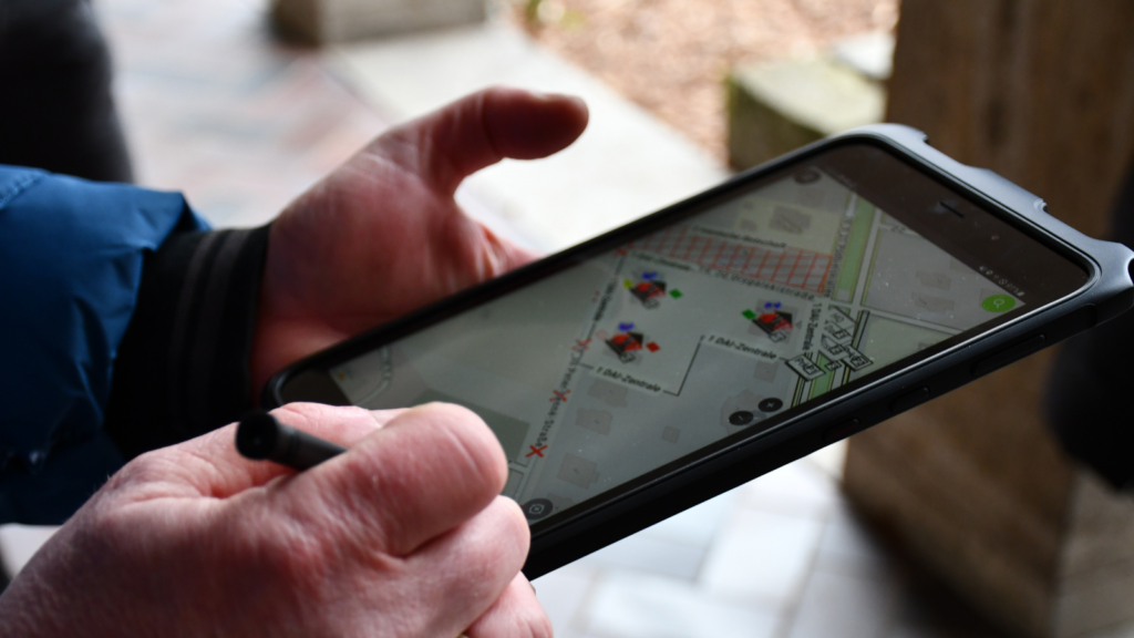
At the heart of the system is QField, integrated with QGIS and tailored form-based templates that capture a wide variety of data types—photographs, audio, video, geolocation, and unique UUID/QR-coded IDs. This ensures every asset—whether building or artifact—can be traced from salvage through stabilization
Field-Tested & Ready for Deployment
QField-powered field kits equipped with tablets connect via a local server and router—even offline. Synchronization to a central PostgreSQL database allows live tracking and coordination of data across devices. This mobile GIS system proved its resilience during a full-scale disaster drill at Demerthin Castle (September 2024), fulfilling ISO-standard data capture and secure workflow needs
Key Features
- Form-based input with geolocation, photos, audio/video, UUID/QR linking
- Offline-capable local network sync to a central mini‑server
- Modular workflows for both movable and immovable heritage elements
- Automatic image syncing via local web service, and full data export in FAIR-compliant formats
- Adaptable system—online, offline, paper backup modes to suit any emergency scenario
Impact & Takeaways
This integrated QField‑based system allowed the KulturGutRetter team to:
- Quickly record structured, high-quality data during heritage rescue operations,
- Coordinate seamlessly in offline environments,
- Maintain data integrity from field entry through centralized storage,
- Prepare exportable packages—including 3D scans and field metadata—for future conservation and analysis
Built on Open Source, Ready for the Future
By combining QField, QGIS, PostgreSQL, and open‑source tooling under the KulturGutRetter project—supported by the German Bundestag and Foreign Office—this case demonstrates how agile, mobile-first open-source GIS can revolutionize emergency documentation for cultural heritage