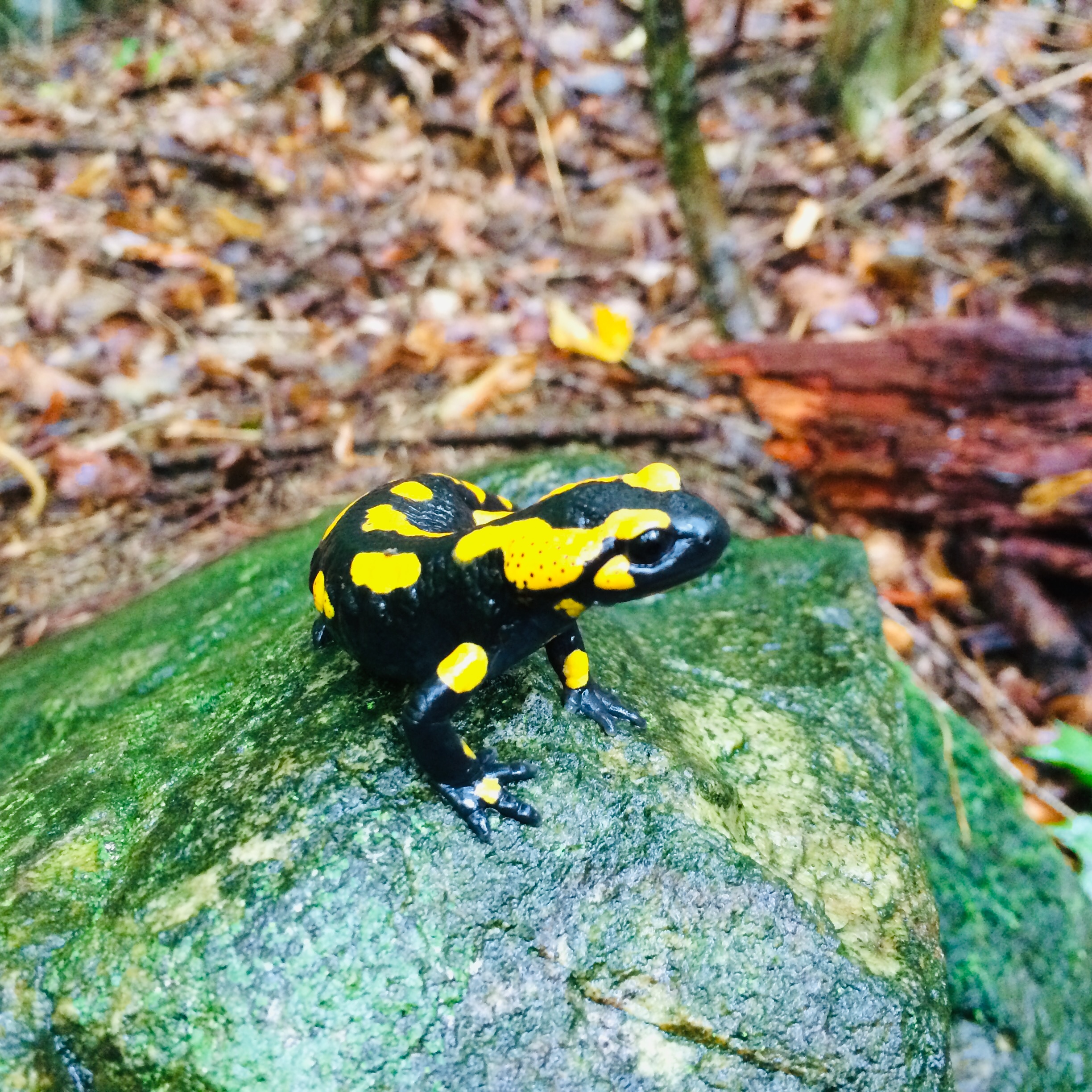
In the steep, forested valleys of Saxony, Germany, a dedicated environmental monitoring team is using QField to track one of Europe's most striking amphibians—the fire salamander. This distinctive black-and-yellow creature serves as an important indicator species for stream health and ecosystem integrity.
The Project: Salamander Conservation in BUND Saxony
Working for BUND (Bund für Umwelt- und Naturschutz-Börgerland) in Saxony, a regional environmental protection organization with approximately 10,000 members, the project coordinator leads a team focused specifically on monitoring fire salamander populations and their habitats.
This five-year conservation initiative receives funding from both the EU (80%) and the state of Saxony (20%), with specific objectives to track fire salamander populations and assess their environments. What began as a solo monitoring effort has expanded to include four dedicated field workers who collect data systematically across numerous streams.
"Fire salamanders are indicators of environments that have remained largely untouched for extended periods and streams with clean water," explains the project coordinator, who has a background in environmental monitoring. "We've discovered they can adapt to various conditions, which tells us important information about our local ecosystems."
QField in Action: How the Team Collects Data
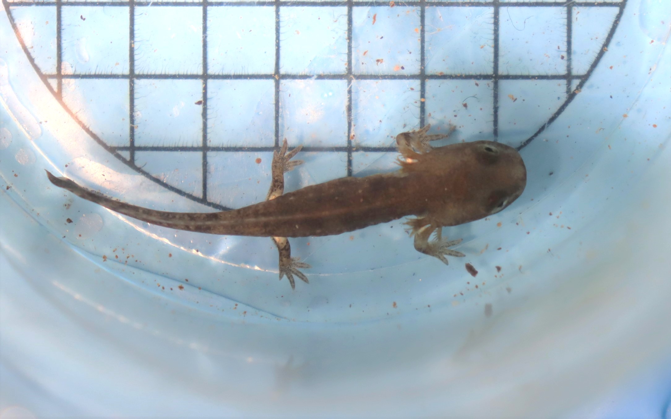
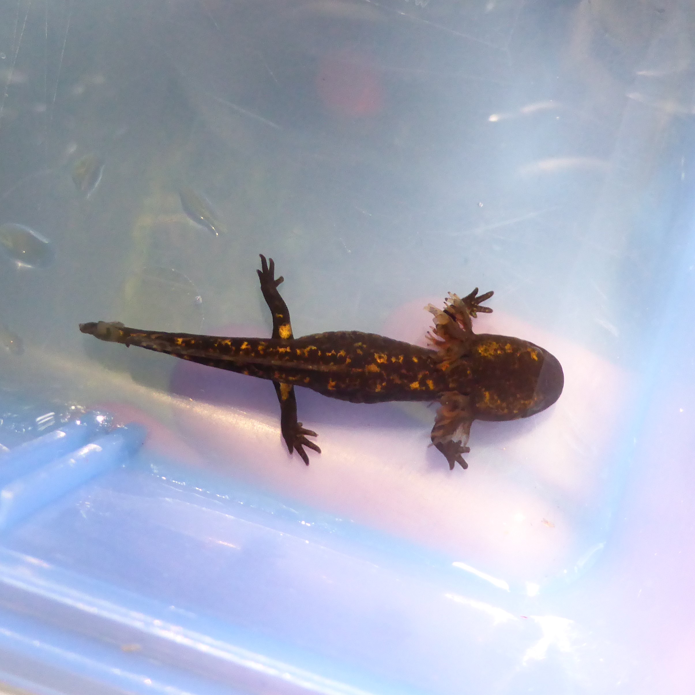
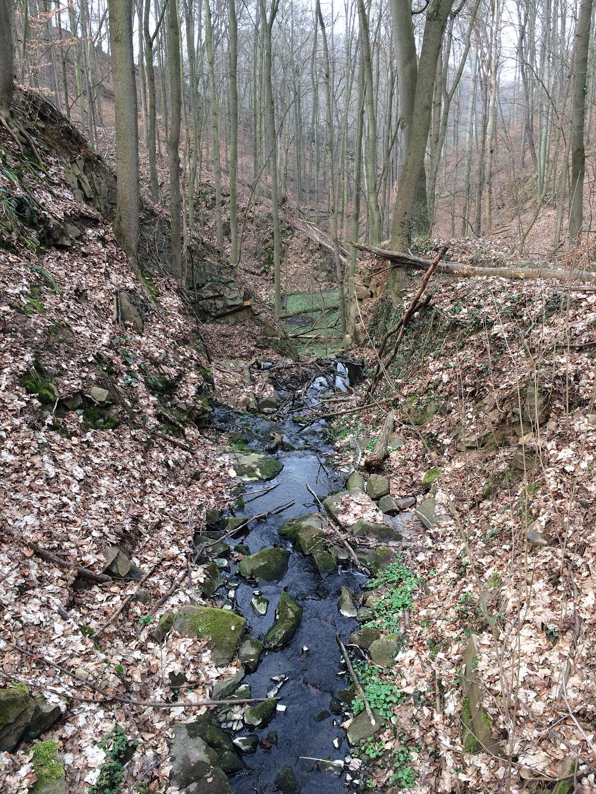
The BUND team has divided approximately 150 streams—totaling around 90 kilometers of waterways—into 100-meter monitoring segments. Field workers visit each segment twice during the first half of the year, which corresponds to the 2-5 month period when fire salamander larvae are present in the water.
Using QField, the team documents:
– Fire salamander larvae counts in each 100-meter stream segment
- Current water conditions (flowing, drying out, or dry)
- Presence of food sources like gammarids and other aquatic invertebrates
- Visual habitat assessments
Additionally, the team conducts annual water quality measurements for each stream, testing for nitrate, nitrite, ammonium, phosphate, and pH levels.
"When the field workers enter a new 100-meter segment, they can see it directly on the map in QField," notes the coordinator. "They make a point for each segment, allowing us to visualize where larvae are abundant and where they're absent."
From Paper to Digital: The QField Advantage
Before implementing QField, data collection was a cumbersome process involving Garmin GPS units and handwritten notes with personal shorthand.
"I always worked with shortcuts and tried to type information as concisely as possible," recalls the coordinator. "Therefore, other people looking at my notes couldn't understand anything."
This older method presented significant challenges:
- Difficulty onboarding new team members
- Limited data standardization
- Time-consuming post-field work to translate cryptic notes
- Challenges with photo documentation and location accuracy
QField, the team now has:
- Standardized data collection forms
- Real-time visualization of segment boundaries
- Precise GPS positioning
- The ability to include photos directly with observations
- Seamless synchronization across the team
From Paper to Digital: The QField Advantage
Beyond the core team, the BUND project has created a simplified QField project specifically for volunteers. This parallel system allows community members to contribute meaningful data while maintaining the scientific integrity of the professional monitoring program.
"It was kind of a pain when volunteers just sent me pictures from fire salamanders and said where they found it. It's a lot of work and time that I don't have," explains the coordinator. "Now with QField, we're making a short video about how to use it and collect data, which I'll send to everyone who's sent me pictures over the last five years."
The simplified volunteer project contains fewer fields but includes the ability to upload photos, creating a more structured citizen science program that feeds directly into the conservation work.
Conservation Impact: Why It Matters
The data collected through QField helps BUND understand the health of fire salamander populations and their habitats, which in turn informs conservation decisions.
"If we want to make changes in the environment to help the fire salamander, we pretty much just need to hold the water in the area. Our problem is that the streams are drying out," explains the coordinator.
The information gathered identifies streams with only small populations (2-3 larvae) that are most vulnerable to extinction if conditions worsen. This allows BUND to prioritize conservation efforts where they're most needed.
By making the data collection process more efficient and standardized through QField, the team can cover more ground, collect more consistent data, and ultimately make better-informed conservation decisions—helping ensure that this iconic amphibian continues to thrive in Saxony's forest streams.