What started as a simple request from former colleagues has evolved into a freelance business and a popular open source project. Meet Felix, a French geomatician who discovered an innovative way to build trust, showcase expertise, and create sustainable income—all while giving away his software for free.
The Problem: Naturalists Without the Right Tools
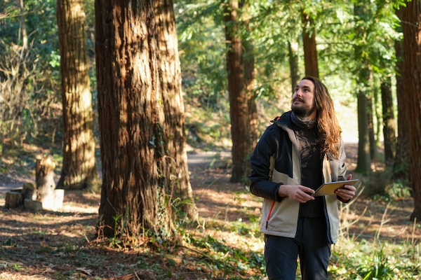
Felix's story begins in the environmental consulting world, where ecologists and naturalists face a common challenge. These professionals spend their days in the field documenting biodiversity—cataloging birds, plants, and other species for environmental impact studies. While they're experts in their scientific domains, many struggle with the technical aspects of data collection.
"They're using QGIS because they have to, but they're not great at it. Usually it's just to make maps—they make horrible maps”.
When Felix left his previous company, former colleagues approached him with a familiar pain point. They had lost access to their company's field data collection software and needed something they could use independently. Their attempts with QField hadn't been successful, and they were willing to pay for a solution.
The Open Source Gamble
Initially, Felix built a custom QGIS project for QField as a one-off paid commission. But as more people began asking for similar solutions, he faced a crucial business decision. Rather than trying to sell individual licenses, Felix made what seemed like a counterintuitive choice: he released everything as open source.
"In the naturalist world, they don't have a lot of money to invest in this kind of technology," Felix reflects. "It was a bit too much for them to put money on this when they could just do it by themselves.
But Felix's open source decision wasn't altruistic—it was strategic. He realized that giving away the software could become his best marketing tool.
The Trust-Building Business Model
Felix's approach flips the traditional software business model on its head. Instead of selling licenses, he uses his open source QField project as a demonstration of expertise and a trust-building mechanism.
Here's how it works:
Step 1: Enable data collection - The open source project helps naturalists collect field data efficiently,
solving their immediate technical challenge.
Step 2: Build relationships - Users know Felix as the creator of the tool that solved their problem,
establishing him as a trusted expert.
Step 3: Monetize expertise - When users need help processing data, creating visualizations, or training
their teams, they naturally turn to Felix for consulting services.
"That was to me like the first advertisement for my job," Felix explains. "A lot of people contacted me afterward because they had trouble with the data when they got it back on QGIS and had to forward it to other companies."
Finding the Right Audience
Rather than competing in the crowded general GIS market, Felix identified a specific niche where he could add unique value. His target audience is highly specific: French naturalists and ecologists working in small companies or as freelancers, who need to collect biodiversity data using Latin species names.
"I had more knowledge in this specific domain than other GIS specialists, and I had more GIS knowledge than anyone in this field," Felix notes. This positioning allows him to command premium rates because he understands both the technical and domain-specific challenges his clients face.
The results speak for themselves. Despite targeting a narrow audience, Felix's latest project version has garnered 500 downloads—impressive numbers for such a specialized tool.
Marketing Through Value
Felix's marketing strategy centers on demonstrating value rather than making sales pitches. On LinkedIn, where his target audience is most active, he shares completed projects and discusses his open source work.
"It's way easier to advertise when it's not just random pictures saying 'I will make this blah blah blah,'" Felix explains."You get a project that I made and you can check by yourself if it's good or not."
This approach resonates because it addresses a common freelancer challenge: building credibility without seeming pushy. The open source project serves as a portfolio piece that potential clients can actually test and evaluate.
The Community Effect
What started as a business strategy has evolved into genuine community building. Felix has partnered with Augustin, a botanist, to create a Discord server where users can suggest improvements and discuss features. The next version of their project will be developed collaboratively rather than by Felix alone.
"That's actually a switch—it's a bit of democracy, the way we can improve collectively," Felix says. This community-driven approach not only improves the software but also strengthens the network of professionals who might become future clients.
Looking Forward: Plugins and Possibilities
Felix is particularly excited about QField's plugin platform, which he sees as opening "a Pandora's box for all kinds of applications." He envisions integrating tools like PlantNet's AI-powered species identification, creating workflows where users can photograph a plant, get AI-assisted species identification, and seamlessly incorporate that data into their field surveys.