Context
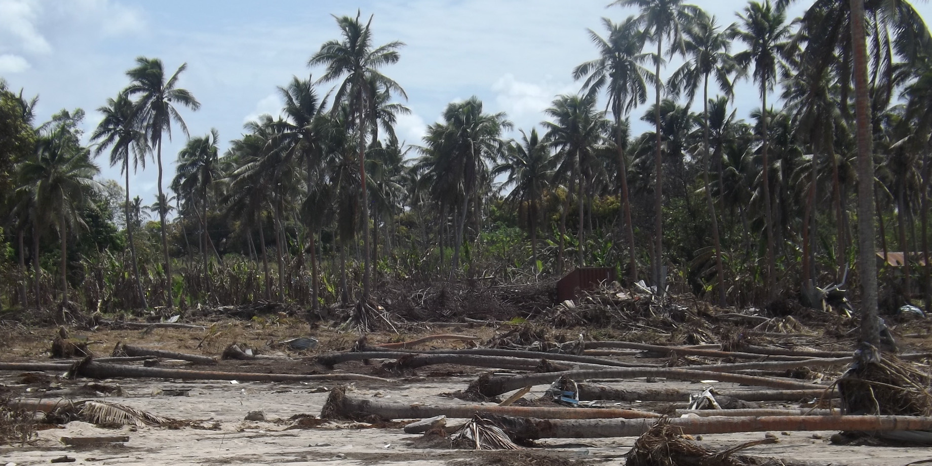
In January 2022 the Hunga Tonga-Hunga Ha’apai submarine volcano erupted. Ash clouds from the eruption and the subsequent tsunami damaged croplands on the Tongatapu and Ha’apai island groups.
Activities
Analysis of Tonga Crop Survey Data
Ministry of Agriculture, Food, and Forests staff used the Tonga Crop Survey data, which was collected using the maplandscape workflow in the months before the eruption, to perform an initial estimate of damage to the food supply.
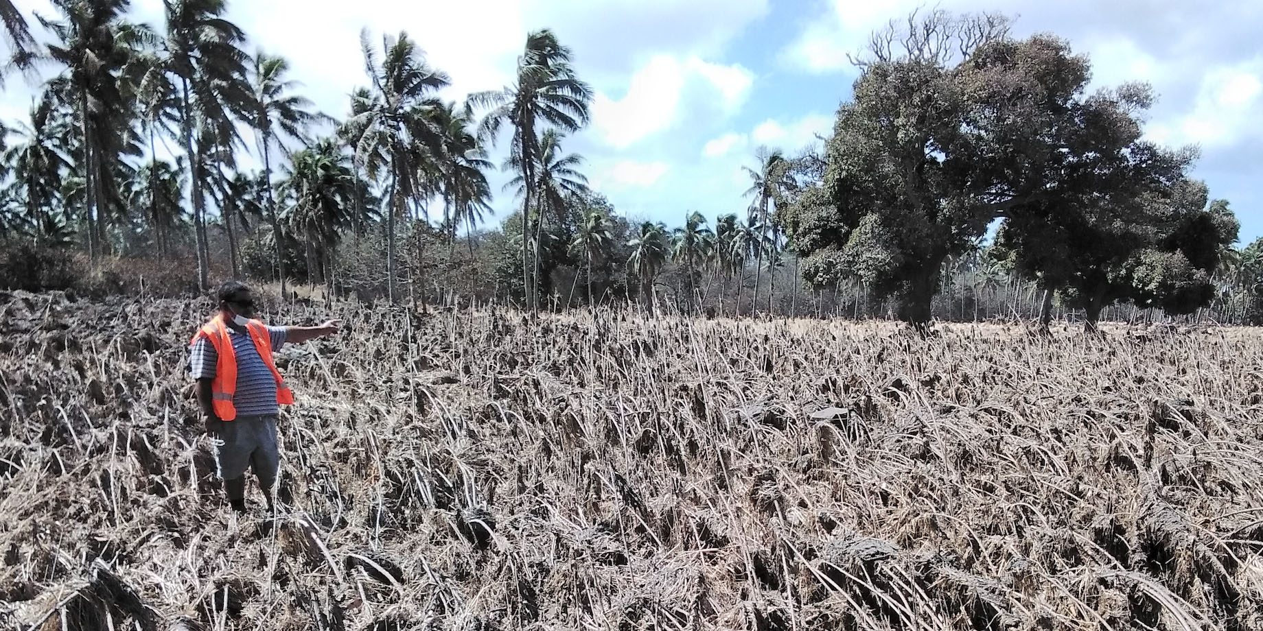
Monitoring of the agricultural recovery
The maplandscape workflow uses QField for mobile data collection. QField has full online and offline modes; this enabled Ministry staff to conduct damage mapping activities and conduct surveys to monitor how government resources for recovering croplands were being used while the countries internet was cut off. The internet cable to Tonga was severed during the eruption. In particular, QField was used to generate maps of where fields had been cleared and re-ploughed using government support. The eruption severed the undersea cable which connected Tonga to the internet.
Damage assessment with community leaders
In the months following the eruption, Ministry staff used maplandscape to interview community leaders in areas affected by the eruption to ascertain loss and damage to croplands, harvested crops, and agricultural infrastructure. This information was used to compute amounts for relief payments.
Outputs
- An early estimate of croplands and agricultural produce affected by the eruption.
- Monitoring of the use of government resources and support for recovery of croplands.
- Dataset of loss and damages to the agricultural sector in affected communities.